Summer 2020 at CEOS
- Manitoba Great Lakes Program
- Casey Clair
My name is Casey Clair. I am a 4th year student in the Clayton H. Riddell Faculty of Environment, Earth, and Resources here at the University of Manitoba. Some of you may remember last year’s blog post about Katelyn’s and my time around Waterhen, Manitoba. Due to the unforeseen circumstances of COVID-19, I was not able to venture into the field with anyone this summer; however, CEOS has succeeded in creatively enhancing the way we work, primarily digitally, during the pandemic.
Initial changes
By the time summer came this year, CEOS was already working and communicating online. Only certain staff were allowed access to laboratories on campus and to collect field samples. Meetings were kept frequent, but were transitioned to video chat. Questions in person became questions over e-mail. As an intern for data analyzing, it wasn’t bad. If anything, the half of my job that was dedicated to lab work has become dedicated to furthering meta-data sorting, formatting, and availability. Working from home made me more comfortable with computer applications; I became somewhat familiarized with Python coding in LaTex, of which I knew very little to nothing about beforehand. Even Gitlab/Github became smoother for me to use so that I could communicate and share meta-data with my group more efficiently.
Group work
This year I also learned how to help others do this job, with new summer interns. I worked with Nicole and Ryan to help CEOS in further meta-data management. This included: contacting scientists about their project and/or instrument meta-data, learning how to fill out these meta-data templates, how to upload or download meta-data on various data-hub websites, among other tasks. We collectively learned how to piece together a codebook, as well. Using Github, Gitlab, and LaTex together, we each have done separate chapters for one codebook, so that instrument scripts and how to run them are readily available.
Personal project
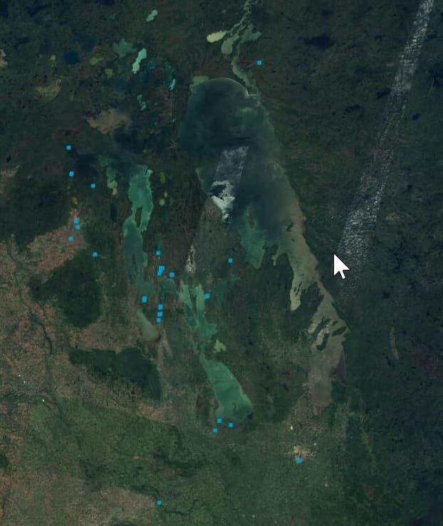
For my own project, I took meta-data from freshwater stations I sorted through last year, to finalize the Master Validation Lists. Then, taking certain meta-data details to aid the viewer’s understanding of the coordinate points of stations, turned it into layers on our CanWIN Geonode site. Layers of freshwater stations were separated by regions: Lake Winnipegosis, Lake Manitoba, Lake Winnipeg, and Additional Rivers and Streams. From there, they were separated by the year the sample stations were first collected. If combined with other layers into maps, trends could be seen from year to year or person to person. It was very rewarding seeing the meta-data I had been sorting through in a physical format that others could also see and follow. Overall, it was another great summer with the staff at CEOS.