Katelyn’s Master's Project Update!
- Manitoba Great Lakes Program
- Katelyn Rodgers
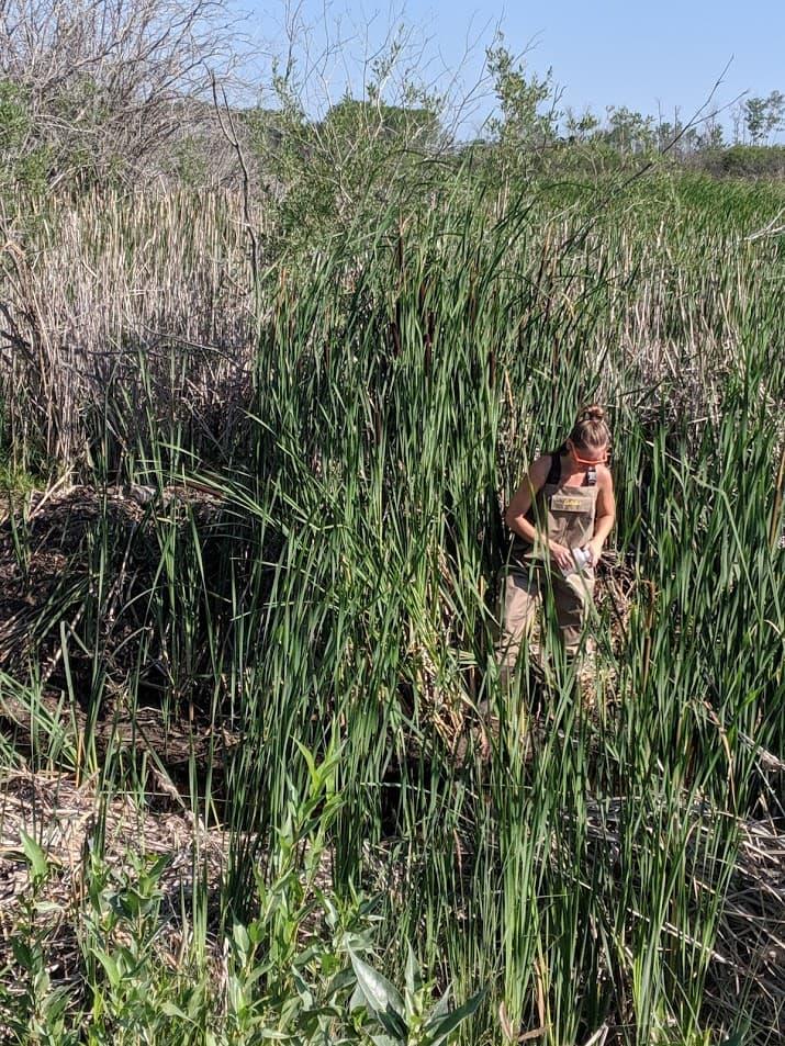
This year, 2020, has made some waves in the world and my studies. In Mid-March, I began preparing for my second field season of my Master’s project until all fieldwork got cancelled due to the pandemic outbreak. I was quite excited to start my second year of fieldwork, where I would return to Waterhen, MB and continue examining four small streams and sampled for water chemistry and flow rates. The original intent for this project was to compare nutrient concentrations and loads in agricultural and wetland streams and see how the intensity of the surrounding land use influenced nutrients and flow. Two streams were located in agricultural areas while the other two were in wetland areas and all within a 40 km radius from Waterhen, MB. I began my first field season at the end of March 2019 and ended it on November 1, 2019. During the spring freshet, I sampled daily when the flow rates were relatively high. As the summer months approached and flow rates began to decline, sampling reduced to once a month. I planned to go out again this spring to sample these streams for one more year. Since the majority of my field sampling occurs in the month of April, my entire field season got unfortunately cancelled.
My advisor and I discussed plans for my Master’s project and decided to no longer continue the project as described above and work on something new. I know, crazy that over a year and a half into my Masters I decided to change my project. Thankfully, this new project doesn’t need any fieldwork, so technically I’m not completely starting from scratch. Thank goodness!
I wanted to keep my focus within the Manitoba Great Lakes (MBGL). Therefore, we decided my new project will focus on two major rivers, Swan and Woody Rivers, which are part of the Lake Winnipegosis Watershed and the greater Lake Winnipeg Watershed. Both these rivers extend from eastern Saskatchewan and flow eastward into Swan Lake and are found in a heavily agricultural area where croplands predominate. The project intends to examine any changes in nutrient exports and runoff over time and examine whether or not surrounding land use and climate change has an influence on these parameters, primarily over the last three decades (1988-2018). All the data I will be using for this project is publicly available through either the province and federal governments.
The MBGL acts as buffers for nutrients before moving into lake Winnipeg. I want to look at the nutrient loads before they enter this massive system and to see if there is a greater influence in land use or climate change on nutrient loads on these lakes. Therefore, getting an idea of nutrient loads entering the MBGL system will assist in identifying what’s going on before nutrients enter this system and may help reduce future impacts as seen in Lake Winnipeg. My project is only a small extent of the many rivers that flow into these large lakes in Manitoba, and I hope my project will help with future research and bring more attention to this area of Manitoba and its Great Lakes.