2025 Storm Chasing Course
- Mya Stam and Henry Anningson
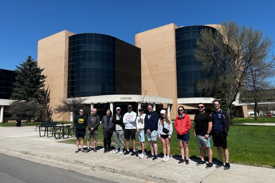
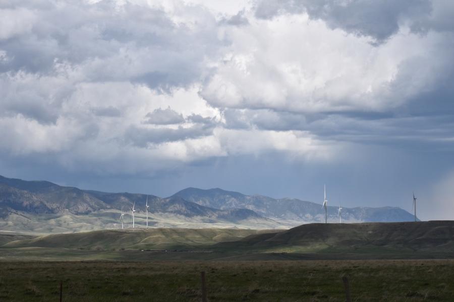
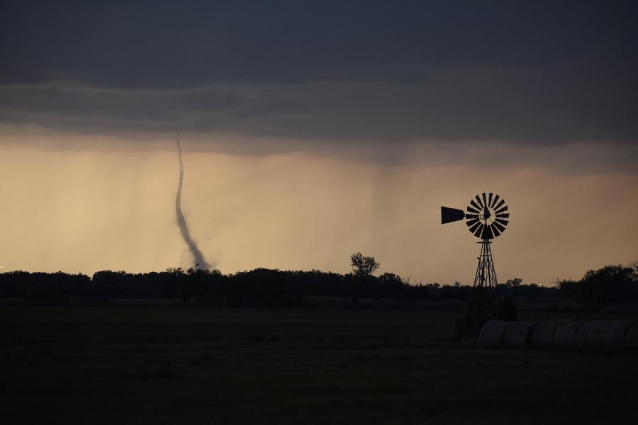
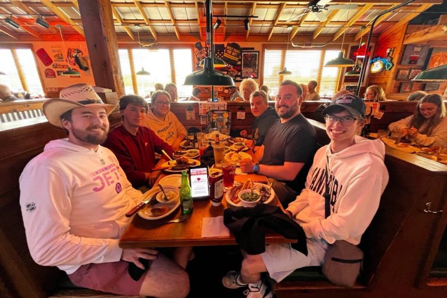
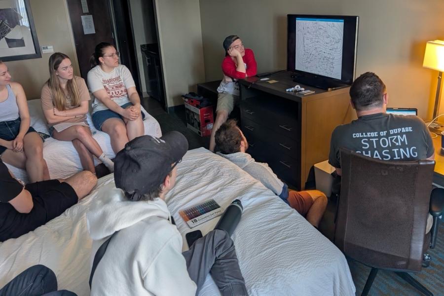
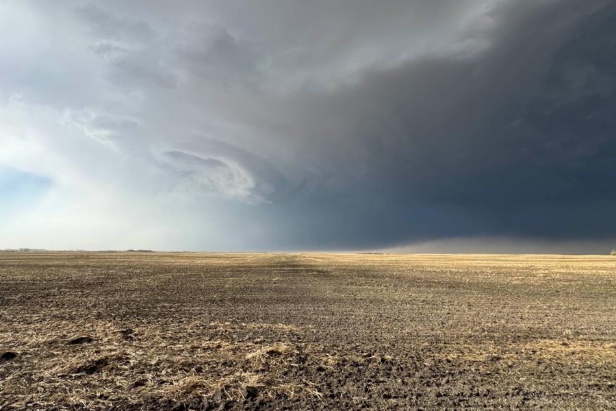
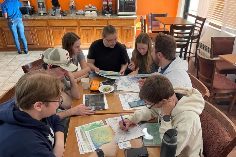
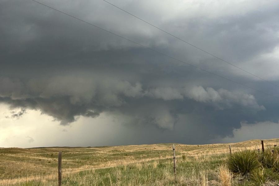
Most people don’t go out of their way to put themselves in the vicinity of tornadoes, but that’s what we were trying to do for a whole week. On the Severe Thunderstorms, Storm Chasing and Field Techniques course, us Atmospheric Science students got to put our in-class learning to the test. The in-class portion of the course ran 0900-1500 each day between April 28 - May 2 to teach students the tools and knowledge needed to forecast tornadic storm environments – Dr. John Hanesiak is the UM professor who leads the course. We then went on an 8-day field trip between May 8 – 15 (see route map below). The trip covered over 7400 km in eight days, the longest trip we have ever done in the course's 20-year history. 2025 marks the 20th year since we first ran the course in 2005. By far, the biggest difference over the years has been the technology changes, apps that allow data access and visualization and the information that is available online to be able to do this activity more efficiently and safely. We saw four tornadoes and several good storms during the trip so students could learn about their structure(s) and evolution.
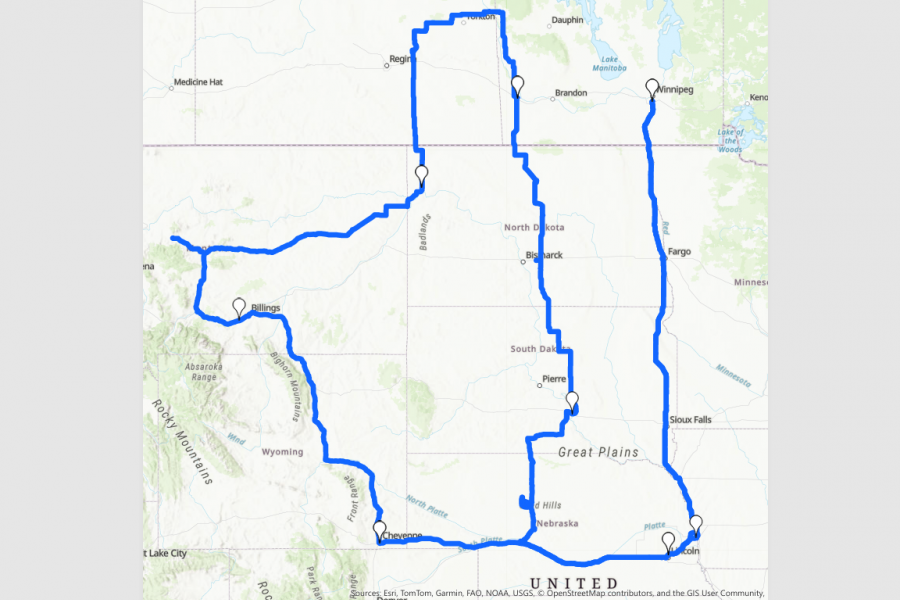
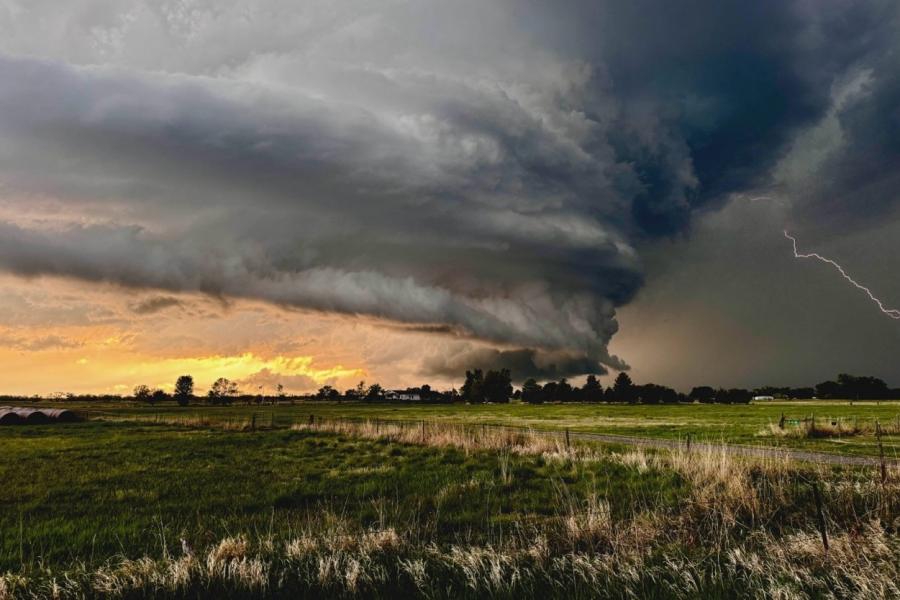
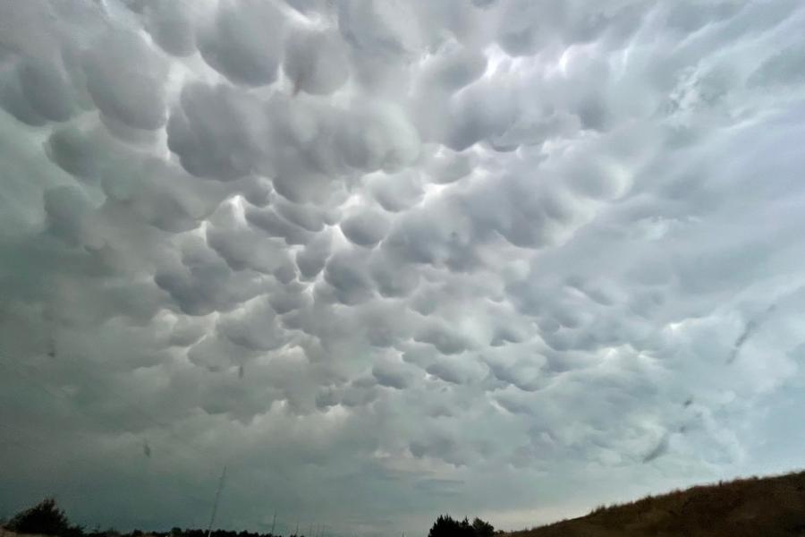
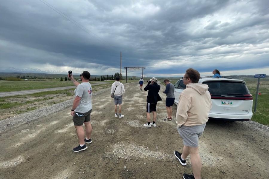
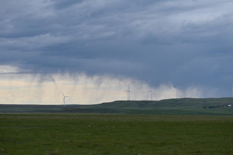
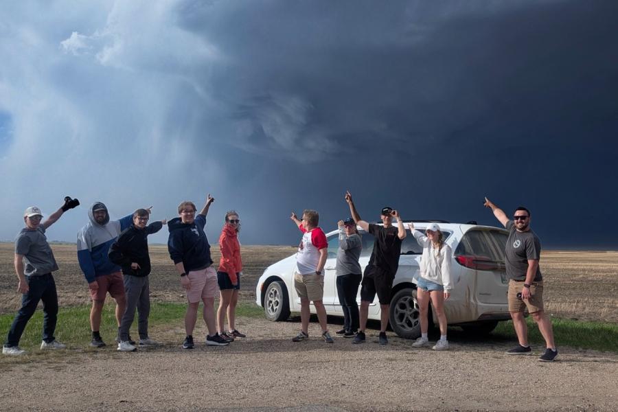
As a passionate group of weather enthusiasts, seeing a tornado has always been on the top of our bucket lists. Our trip was full of highs and lows (pressure systems), which in the first leg of the trip from Winnipeg to Omaha, NE we saw nothing but blue skies thanks to a high-pressure ridge over the plains. After completing some weather analysis that evening, we decided to trek northwest to the mountains of Montana, where we saw our first storm of the trip. We got to experience some extreme winds with gusts of up to 80 km/h, with a backdrop of the Rocky Mountains. The next day, we headed back to Canada to the great province of Saskatchewan, where we got the forecast of a supercell spot on - just north of Fort Qu’Appelle. This was an amazing experience to see all the diagrams in a weather textbook come to life in a real storm. We watched this supercell rotate over our heads, but the environment was too dry to produce a tornado. With a few days left of our trip, we drove all the way back down to South Dakota to reposition for our last day of chasing. We headed down to Nebraska where we watched the ingredients come together and storms started popping up all over the place. Using the insights we gained from class, we ended up making a last-minute decision to head south to the one cell that produced the only tornadoes of the day - where we saw four tornadoes! Overall, this field trip was a great learning experience, and we all made memories and friendships that will last a lifetime.
We wish to thank Pat McCarthy (retired Head of PASPC), Jay Anderson (retired ECCC meteorologist) and Dave Carlsen (ECCC meteorologist) for their contributions to the course over its 20-year history. We also wish to thank Keane Kokalsky, Chris Stammers, Kyle Ziolkowski and Rose Carlsen (all ECCC meteorologists) for their continued support and assistance with the course.