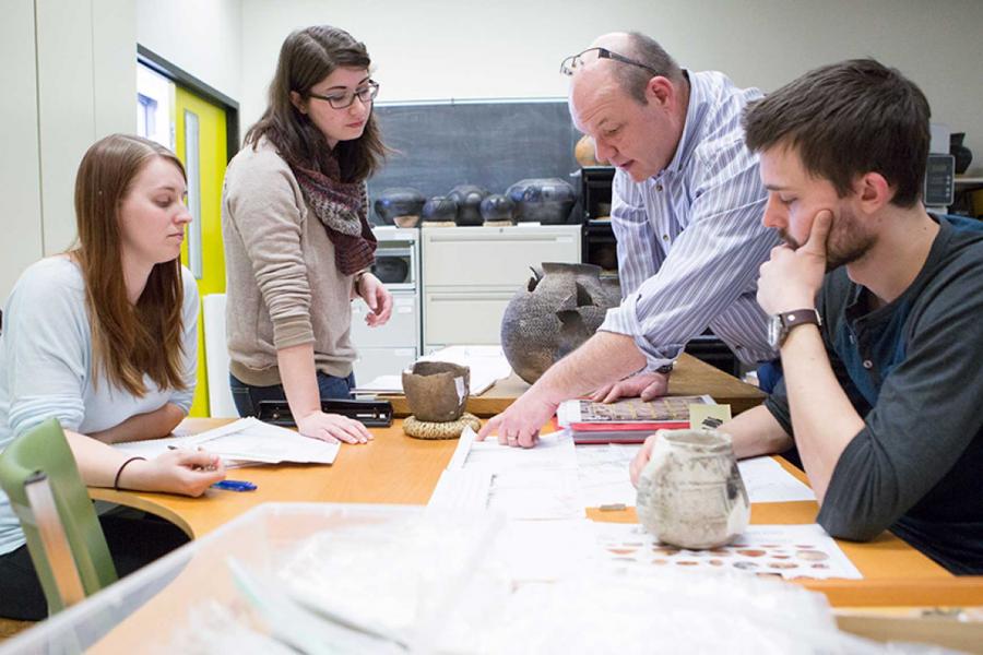
4,500 B.C.- 1,500 B.C.
The Shield Archaic tradition of the northern boreal forest and subarctic region is considered to have developed as early as 6,500 years ago. It was distributed throughout the southern Northwest Territories (Keewatin district), northern Saskachewan, northern and eastern Manitoba, and northwestern Ontario. Sites on the tundra are well represented in the Northwest Territories, which has been suggested as a possible origin (Wright 1972, 1976). Sites in the Manitoba subarctic are rare and have been found mainly in the southeast.

The boreal forest offered many resources, but the dense understory and myriad swamps would have made overland travel almost impossible. However, the vast network of interconnecting waterways offered many possibilities for water transportation. Canoes may have been used for summer transport and snowshoes may have allowed for movement over the frozen lakes and rivers in the winter.
The Native peoples who developed the Shield Archaic, possibly the ancestors of the contemporary Algonkian speakers who now inhabit the area, depended primarily upon caribou, moose, and fish which thrived along the extensive system of waterways. They followed a "broad spectrum" procurement strategy, but required fairly large hunting grounds because of the fluctuations in animal populations and dislocations due to massive forest fires (Wright 1995:261).
Adze from the Victorica Burial Day Site |
Artifact assemblages are dominated by knives, scrapers, and small side-notched points. Adzes have also been recovered in many sites and indicate the importance of forest resources and the manufacture of wooden tools. Unfortunately poor preservation of organic materials within the boreal forest makes it unlikely that we will ever recover any direct evidence of implements made of perishable materials. Pollen remains and the occasional intact bone tool suggest that a wide range of resources were used. Bone and antler tools are particularly well documented at the Victoria Day site on Three Point Lake in northern Manitoba (see below). |
In the northern areas, sites located at water crossings suggest that people congregated at locations where caribou herds could be intercepted. These sites may represent the seasonal, scattered campsites associated with late summer caribou hunting and spring/fall fishery. No winter campsites have been located, and their absence may reflect a preference for camping on lake ice. People may also have wintered in any of the sheltered bays, or dells which are part of the undulating landscape.
To the south, Shield Archaic bands "...were oriented largely to the ecotone occurring along the boundary between land and water... (Rogers and Black 1976:5)". Campsites located in this narrow band were considered to represent summer and fall occupations. Winter settlement patterns are difficult to document because of the dispersal of population associated with limited resource availability.
Aside from the burial other evidence of religious, aesthetic, and intellectual life may also be documented in rock paintings, termed pictographs, and patterned stone arrangements, petroforms, that may have their origins in Archaic cultures. Unfortunately, Manitoba rock art can not be firmly dated and will be treated in the context of the next chronological unit, the Woodland Period.