Alberta remote video
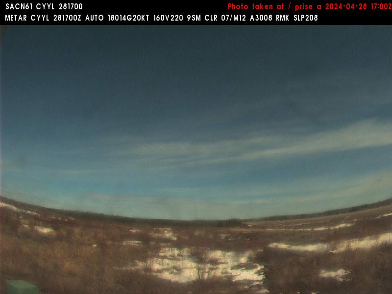
Saskatchewan remote video
Manitoba remote video
|
Alberta remote video |
Saskatchewan remote video |
Manitoba remote video |
Other remote video |
|
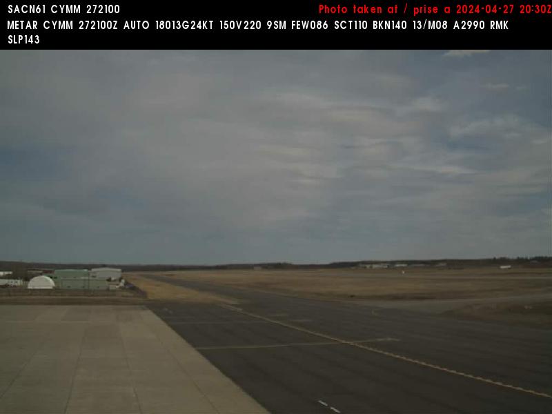
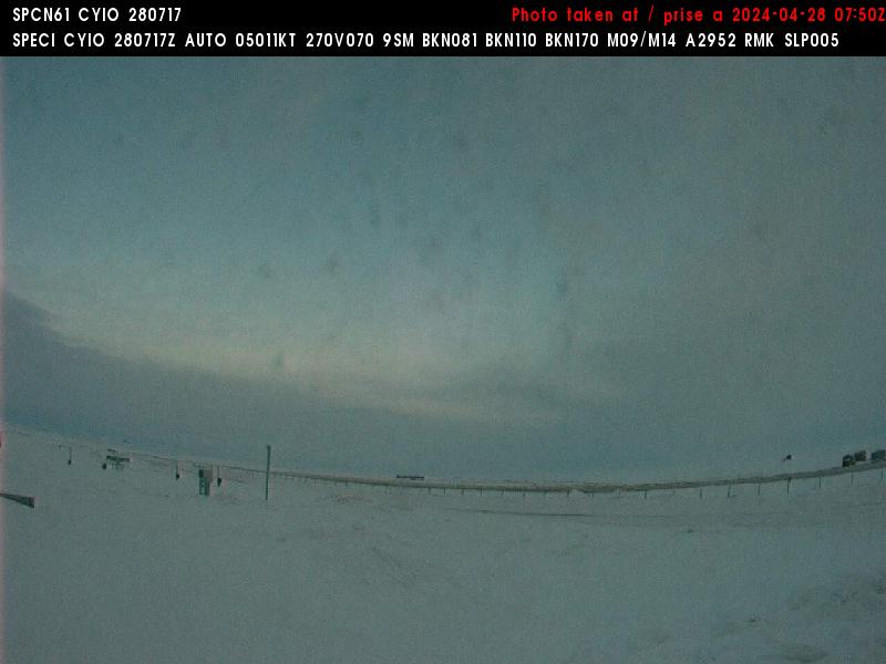
High Level Region |
 Hwy 35, near Indian Cabins |
 Hwy 35, near Meander River |
 Hwy 35, near Paddle Prairie |
|
| High Level Region |
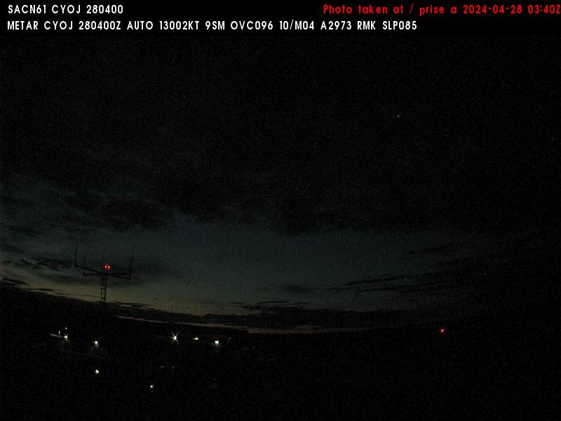 CYOJ Airport (View N) |
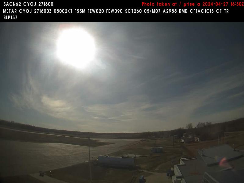 CYOJ Airport (View SE) |
||
| Fort Chipewyan Region |
 CYPY Airport (View NE) |
 CYPY Airport (View W) |
||
|
Fort McMurray Region |
 Hwy 63, 20 km N YMM (view north) |
 Hwy 63, 20 km N YMM (view east) |
 Hwy 63, 20 km N YMM (view south) |
|
|
Fort McMurray Region |
 Highway 63: North side of bridge @ Athabasca River |
 Highway 63: North side of bridge @ Athabasca River |
 Highway 63: North side of bridge @ Athabasca River |
|
|
Fort McMurray Region |
 Hwy 63, near Mariana Lake |
 Hwy 881, near Conklin |
||
|
Fort McMurray Region |
 Airport (view SE) |
 Airport (view NW) |
||
|
Peace River Region |
 Hwy 35, near Manning |
 Hwy 2, near Nampa |
 Hwy 2, near Guy |
|
|
Westlock & Bonnyville Regions |
 Hwy 63, near Grassland |
Hwy 63, near Atmore (View E) |
 Hwy 881, near Heart Lake |
|
|
Grande Prairie Region |
 Hwy 43, near Demmit |
 Hwy 43, near Beaver Lodge |
 More Grande Prairie Images |
|
|
Grande Prairie Region |
 Hwy 43, near Grande Prairie |
 Hwy 43, near Grande Prairie |
 Hwy 43, near Grande Prairie |
|
|
Grande Prairie Region |
 Hwy 43, near Debolt |
 Hwy 43, near Valleyview |
 Hwy 43, near Little Smoky |
|
|
Jasper Region |
 Marmot Basin, Lower Mtn. |
 Marmot Basin, Mid Mtn. |
 Marmot Basin, Upper Mtn. |
|
|
Jasper Region |
 Hwy 16 near Jasper Park Gate, View W |
 WJW Airport (view S) |
 WJW Airport (view NE) |
|
|
Hinton Region |
 Hwy 16 near Obed, View W |
CEC4 Airport (View S) |
CEC4 Airport (View NE) |
|
|
Whitecourt Region |
 Hwy 43, near Fox Creek |
 Hwy 43, near Two Creek |
 Hwy 43 near Whitecourt |
|
|
Whitecourt Region |
 Hwy 16 near Edson, View E |
 Hwy 16 near Peers, View W |
||
|
Whitecourt Region |
 YET Airport (view W) |
 YET Airport (view E) |
||
| Spruce Grove Region |
 Hwy 16 near Wildwood, View W |
 Hwy 16 near Wabamun, View W |
||
| Spruce Grove Region |
 Hwy 43 near Sangudo |
 Hwy 43 near Onoway |
||
| Spruce Grove Region |
 Hwy 16 near Spruce Grove |
 Hwy 16 near Spruce Grove |
 Hwy 16 near Spruce Grove |
|
| Edmonton Region |
 Anthony Henday Drive at North Sask. River |
 Anthony Henday Drive at North Sask. River |
 Anthony Henday Drive at North Sask. River |
|
| Edmonton |
 YXD Airport (view N) |
 YXD Airport (view SE) |
 Downtown |
|
| Edmonton |
 Downtown from U of A (View NW) |
 Downtown from U of A (View N) |
 Downtown from U of A (View NE) |
|
| Edmonton |
 Downtown from U of A |
Downtown |
 Snow Valley |
|
| Edmonton |
Edmonton Traffic Cameras Streaming Video |
Downtown Edmonton Streaming Video |
||
|
Fort Saskatchewan Region |
 Hwy 16 near Elk Island, View E |
 Hwy 16 near Mundare |
 Hwy 16 near Lavoy, View E |
|
|
Lloydminister Region |
 Hwy 16 near Vermilion, View W |
 Hwy 16 near Lloydminister, View E |
||
| Lloydminster |
 Airport (view NE) |
 Airport (view SE) |
 Airport (view W) |
|
| Leduc Region |
 Hwy 16, Near Sherwood Park |
 Hwy 16, Near Sherwood Park |
 Hwy 16, Near Sherwood Park |
|
| Leduc Region |
 Leduc, YEG North Runway |
 Leduc, YEG South Runway |
 Leduc, YEG South Departure |
|
|
Leduc Region |
 Hwy 2 near Leduc |
 Hwy 2 near Leduc |
 Hwy 2 near Leduc |
|
|
Leduc Region |
 Hwy 2 near Wetaskawin |
 Hwy 2 near Wetaskawin |
 Hwy 2 near Wetaskawin |
|
|
Rocky Mountain House |
 WRM Airport (view N) |
 WRM Airport (view SE) |
 WRM Airport (view Sw) |
|
|
Red Deer Region |
 Hwy 2 near Ponoka |
 Hwy 2 near Ponoka |
 Hwy 2 near Ponoka |
|
|
Red Deer Region |
 Hwy 2 near Red Deer |
 Hwy 2 near Red Deer |
 Hwy 2 near Red Deer |
|
|
Red Deer Region |
 Hwy 2 near Bowden |
 Hwy 2 near Bowden |
 Hwy 2 near Bowden |
|
|
Airdrie Region |
 Olds, view South |
|||
|
Airdrie Region |
 Hwy 2, near Carstairs |
 Hwy 2, near Carstairs |
 Hwy 2, near Carstairs |
|
|
Airdrie Region |
 Hwy 2 near Airdrie |
 Hwy 2 near Airdrie |
 Hwy 2 near Airdrie |
|
|
Airdrie Region |
 Hwy 1 near Cochrane |
 Hwy 1 near Cochrane |
 Hwy 1 near Cochrane |
|
|
Drumheller Region |
 Hwy 9, near Morrin |
 Hwy 9, near Morrin |
 Hwy 9, near Morrin |
|
|
Drumheller Region |
 Hwy 9, near Drumheller |
 Hwy 9, near Craigmyle |
||
|
Coronation Region |
 Hwy 9, near Youngstown |
 Hwy 9, near Oyen |
 Hwy 9, near Sibbald |
|
|
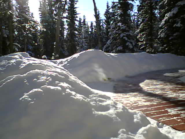
Banff Region |
 Banff |
 Banff Gondola |
 Norquay, Cascade Top Stn. |
|
|
Banff Region |
Sunshine Village |
Sunshine Village |
Sunshine Village |
|
|
Banff Region |
 Lake Louise, From Ptarmigan Mtn Top, Anim/Archive |
Lake Louise, Base Camp |
Lake Louise, Base Camp |
|
| Banff Region |
 Highway 1, West of Lake Louise overpass (View W) |
 Highway 1, West of Lake Louise overpass |
 Highway 1, West of Lake Louise overpass (View E) |
|
|
Kananaskis Region |
 Canmore, 3 Sisters |
 Canmore, Downtown |
 Canmore, Silvertip |
|
|
Kananaskis Region |
 Canmore |
 Nakiska Base |
 Nakiska, Silver Quad |
|
|
Kananaskis Region |
 Hwy 1 near Canmore |
 Hwy 1 near Canmore |
 Hwy 1 near Canmore |
|
| Calgary |
 Downtown |
 Downtown |
||
| Calgary |
 Downtown |
 Suburbs |
||
| Calgary |
 Crowchild Trl at 24 Ave NW |
 4 Ave at 9 St SW |
||
| Calgary |
 Memorial Dr - Deerfoot Trl SE |
 17 Ave - Deerfoot Trl SE |
 34 Ave - Deerfoot Trl SE |
|
| Calgary |
 Peigan Trl / Barlow Trl |
 47 Ave - Deerfoot Trl SE |
 50 Ave and Barlow Trl SE |
|
| Calgary |
 Glenmore Trl / 1A St SW |
 Glenmore Trl at Macleod Trl South |
||
| Calgary |
&type=still) Glenmore Trail at Elbow Drive (West view) |
&type=still) Glenmore Trail at Elbow Drive (East view) |
 Glenmore Trl / 14 St SW |
|
| Calgary |
&type=still) Bannister Rd and Macleod Trl S (North view) |
&type=still) 149 Ave and Macleod Trl S (North view) |
&type=still) 16000 Blk Macleod Trl S (North view) |
|
| Calgary |
&type=still) Bannister Rd and Macleod Trl S (South view) |
&type=still) 149 Ave and Macleod Trl S (South view) |
&type=still) 16000 Blk Macleod Trl S (South view) |
|
| Calgary |
 162 Ave at Macleod Trl |
 Deerfoot Trl @ Calf Robe & Ogden Brdgs |
||
| Calgary |
 Deerfoot Trl @ Calf Robe & Ogden Brdgs |
 Deerfoot Trl @ Calf Robe & Ogden Brdgs |
||
|
Okotoks Region |
 Hwy 2 near Okotoks |
 Hwy 2 near Okotoks |
||
|
Okotoks Region |
 Hwy 2 near Okotoks |
 Hwy 2 near Parkland |
||
|
Brooks Region |
 Hwy 1 near Chestermere |
 Hwy 1 near Chestermere |
 Hwy 1 near Chestermere |
|
|
Brooks Region |
 Hwy 1 near Gleichen |
 Hwy 1 near Bassano |
 Hwy 1 near Brooks |
|
|
Medicine Hat Region |
 Hwy 1 near Tilley |
 Hwy 1 near Suffield |
 Hwy 1 near Irvine |
|
|
Medicine Hat Region |
 Hwy 1 near Medicine Hat |
 Hwy 1 near Medicine Hat |
 Hwy 1 near Medicine Hat |
|
|
Medicine Hat Region |
 Hwy 3 near Burdett |
 Hwy 3 near Whitla |
||
| Crowsnest Pass Region |
 Crowsnest Pass (View W) |
 Crowsnest Pass (View SE) |
||
| Crowsnest Pass Region |
 CZPC Airport (View W) |
 CZPC Airport (View E) |
||
|
Crowsnest Pass Region |
 Castle Mountain |
 Blairmore |
 East Blairmore |
|
|
Crowsnest Pass Region |
 Hwy 22, W of Porcupine Hills |
 Hwy 22, W of Porcupine Hills |
 Hwy 22, W of Porcupine Hills |
|
|
Crowsnest Pass Region |
 Hwy 3 near Crowsnest |
 Hwy 3 near Cowley |
 Flathead Range |
|
|
Cardston Region |
 Hwy 3 near Ft MacLeod |
 Hwy 2 near Granum |
||
|
Lethbridge Region |
 Hwy 3 near Monarch |
 Hwy 3 near Monarch |
 Hwy 3 near Monarch |
|
|
Lethbridge Region |
 Hwy 3 near Barnwell |
 Hwy 3 near Purple Springs |
Hwy 3 near Burdett |
|
|
Lethbridge Region |
 Hwy 4, near Stirling |
 Hwy 4, near Warner |
 Hwy 4, near Coutts |
|
| Saskatoon |
University of Saskatchewan |
University of Saskatchewan |
University of Saskatchewan | |
|
Regina, Outlook Region |
 View East |
 Highway 11 near Davidson |
||
| Lloydminster |
Airport (view NE) |
Airport (view SE) |
Airport (view W) |
|
|
The Battlefords Region |
 Highway 3 near Paradise Hills |
 Airport (view N) |
Airport (view E) |
|
|
Swift Current Region |
 Airport (view NW) |
 Airport (view SW) |
||
| La Ronge Region |
 Highway 2 near Weyakwin |
|||
|
Yorkton Region |
 Airport (view NE) |
 Airport (view W) |
||
|
Yorkton & Melfort Regions |
 Yorkton (view NW) |
 Tisdale |
||
| Melfort Region |
 Nipawin Airport (view W) |
 Nipawin Airport (view N) |
 Carrot River |
|
|
Moose Jaw & Estevan Regions |
 Moose Jaw |
ESTEVAN Webcam User Name: public Password: public Ignore the date/time. |
||
|
Stony Rapids Region |
 Airport (view E) |
 Airport (view SW) |
||
|
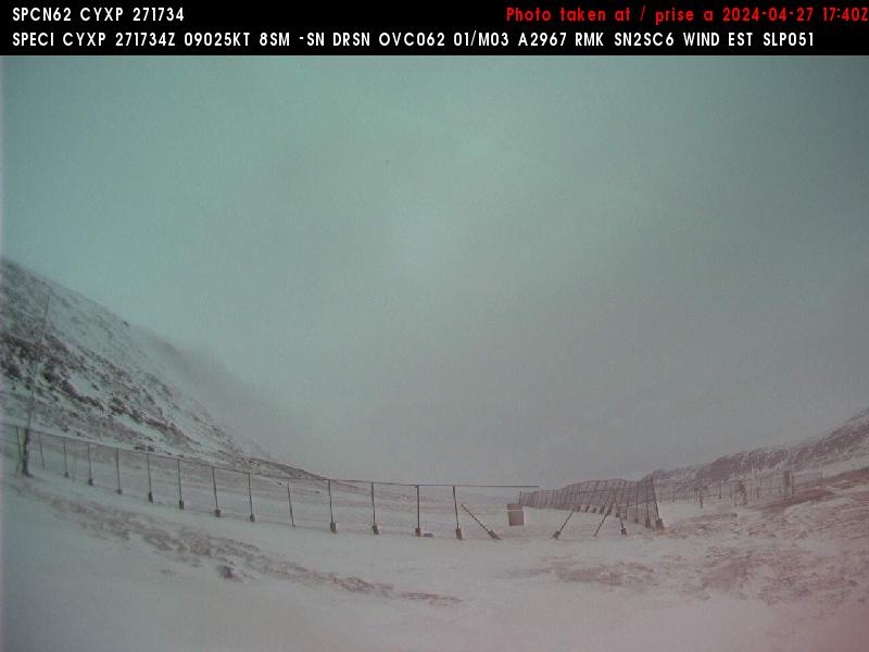
Key Lake Region |
 Airport (view NE) |
 Airport (view SW) |
||
|
Dauphin Region |
 YDN Airport (view N) |
 YDN Airport (view SE) |
 Asessippi |
|
|
Brandon & Minnedosa Regions |
 Brandon |
 Hamiota |
||
|
Portage & Morden Regions |
 Sanford |
Emerson |
 Morden |
|
|
Selkirk Region |
 Selkirk (view WNW) |
 Gimli (view E) |
||
|
Selkirk Region |
 St. Andrews (view NW) |
Woodlands |
||
| Winnipeg |
 CBC Downtown |
 Downtown |
 U of M, Fort Garry Campus |
|
|
Steinbach Region |
 Steinbach (view NW) |
 Steinbach (view W) |
 Steinbach (view NE) |
|
|
Dugald Region & Kenora |
 East st.Paul (view N) |
 Kenora |
||
|
Norway House Region |
 YNE Airport (view NE) |
 YNE Airport (view SW) |
||
|
Lynn Lake Region |
 YYL Airport (view N) |
 YYL Airport (view S) |
||
| Nunavut, North Pole |
 Kimmirut |
 North Pole |
||
| Nunavut |
 Pangnirtung Airport (View SW) |
 Pangnirtung Airport (View NW) |
 Pangnirtung Airport (View NE) |
|
| Nunavut |
 Qikiqtarjuaq Airport (View SW) |
 Qikiqtarjuaq Airport (View NE) |
||
| Nunavut |
 Pond Inlet Airport (View N) |
 Pond Inlet Airport (View SW) |
||
| Yukon |
 Whitehorse, Depot |
 Dawson City, YT |
||
| Yukon |
 Northern WhiteHorse |
 Northern Whitehorse |
||
| Northern Quebec |
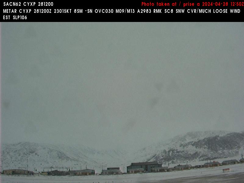
 Ivujivik (YIK) |
 Ivujivik (YIK) |
||
| Northern Quebec |
 Quaqtaq (YHA) |
 Quaqtaq (YIK) |
||
| Montana |
 Plentywood (view N) |
 Plentywood (view E) |
 Plentywood (view S) |
|
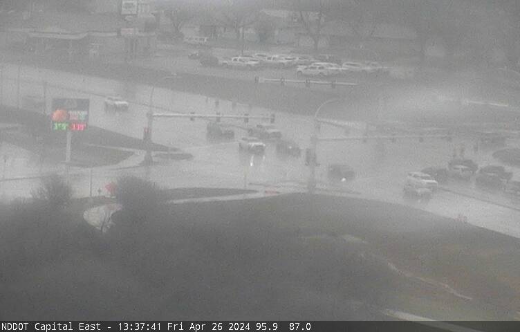
| North Dakota |
 Minot |
 Williston |
 Dickinson |
|
| North Dakota |
 I-29 near Pembina ND (view N) |
Devils Lake (view W) |
Devils Lake (view SW) |
|
| North Dakota | US Hwy 2 near Ray |
 Grand Forks (view SE) |
 Fargo |
|
| North Dakota |
 Grand Forks (view W) |
 Grand Forks (view W) |
|
| North Dakota |
Jamestown |
 Bismarck (looking SE) |
 Bismarck (looking NW) |
|
| Minnesota |
 Flag Island (view E) |
 Flag Island (view E) |
 Flag Island (movable) |
|
| Minnesota |
Bemidji streaming video |
Bemidji streaming video |
Bemidji streaming video |
|
| Minnesota |
Karlstad Streaming video |
 Ten Mile Lake (20 miles east of Park Rapids) |